
Highland Township, Oakland County, Michigan, October 27, 2025 News Summary A tragic collision occurred in Highland Township, Michigan, when 53-year-old Todd Michael Luark was struck by a Jeep Grand Cherokee while...

Novi MI, October 27, 2025 News Summary Changlin Li, a 33-year-old man from Novi, is in custody after he allegedly stole a Medstar ambulance. The incident, which occurred with a paramedic...

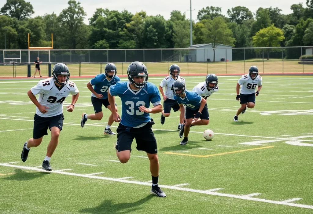
Michigan, October 26, 2025 News Summary In Week 9 of Michigan high school football, several teams displayed their talent and determination. Detroit Central clinched a 22-6 victory over Warren Lincoln, finishing...

Novi, Michigan, October 26, 2025 News Summary An ambulance was stolen while paramedics were treating patients at a crash site in Novi. The suspect, a 33-year-old man, drove recklessly and crashed...

Northville Township, Michigan, October 26, 2025 News Summary In Northville Township, Michigan, a man named Changlin Li was arrested after stealing a Medstar ambulance while paramedics treated a patient inside. The...

Oakland County, Michigan, October 25, 2025 News Summary In Oakland County, Michigan, a paramedic and a patient were unharmed after a stolen ambulance ignited following a crash. The incident occurred when...

Novi, Michigan, October 25, 2025 News Summary A chaotic incident occurred in Novi when an ambulance was stolen from a crash scene while a patient and paramedic were inside. The theft...

Novi, Michigan, October 25, 2025 News Summary In Novi, Michigan, an ambulance was stolen while paramedics were treating crash victims. A 33-year-old man, involved in the earlier crash, drove off with...

Novi, MI, October 25, 2025 News Summary A suspect was arrested for stealing an ambulance containing a patient while emergency personnel treated the individual at a crash scene in Novi. The...

Novi, October 26, 2025 News Summary Novi recently hosted a grand opening for Sakura Gardens and Paris Baguette, part of the city’s first Asian-themed mixed-use development. Sakura Gardens includes serene landscapes...

Novi, Michigan, October 24, 2025 News Summary Carvana Co. has had its dealership license revoked for three years in Michigan due to violations of the Michigan Vehicle Code, including issues with...

Southfield, Michigan, October 24, 2025 News Summary Gentherm Inc. has announced a profitable third quarter, achieving a net income of $14.9 million, or 49 cents per share. The company’s adjusted earnings...

Novi, Michigan, October 24, 2025 News Summary Novi, Michigan, has introduced the Sakura Novi development, the first Asian-inspired mixed-use project in the state. Located on Grand River Avenue, it features Sakura...

Auburn Hills, Michigan, October 22, 2025 News Summary Toys ‘R’ Us has reopened two new seasonal stores in Michigan, marking the return of the brand to metro Detroit after seven years....

Novi, October 21, 2025 News Summary Sheetz has commenced the construction of its inaugural store in Oakland County, located at 39471 W. 12 Mile Road. Set to open in spring 2025,...

Novi MI, October 14, 2025 News Summary In a remarkable feat, AstroTurf Great Lakes completed the installation of over 60 synthetic turf fields in the Midwest, enhancing athletic experiences across various...

Novi, MI, October 14, 2025 News Summary Paris Baguette Bakery Cafe has opened its third location in Michigan at 42768 Grand River, Novi. The cafe has gained attention since its soft...

Detroit, Michigan, October 9, 2025 News Summary Homebuilder stocks in Detroit have seen a notable decline of over 9%, experiencing a four-day losing streak influenced by social media controversies. In contrast,...

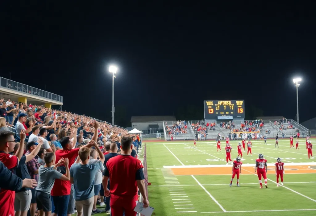
Michigan, October 27, 2025 News Summary The Michigan high school football regular season has ended, and the playoff match-ups are set to commence soon. Scheduled games for the first round will...

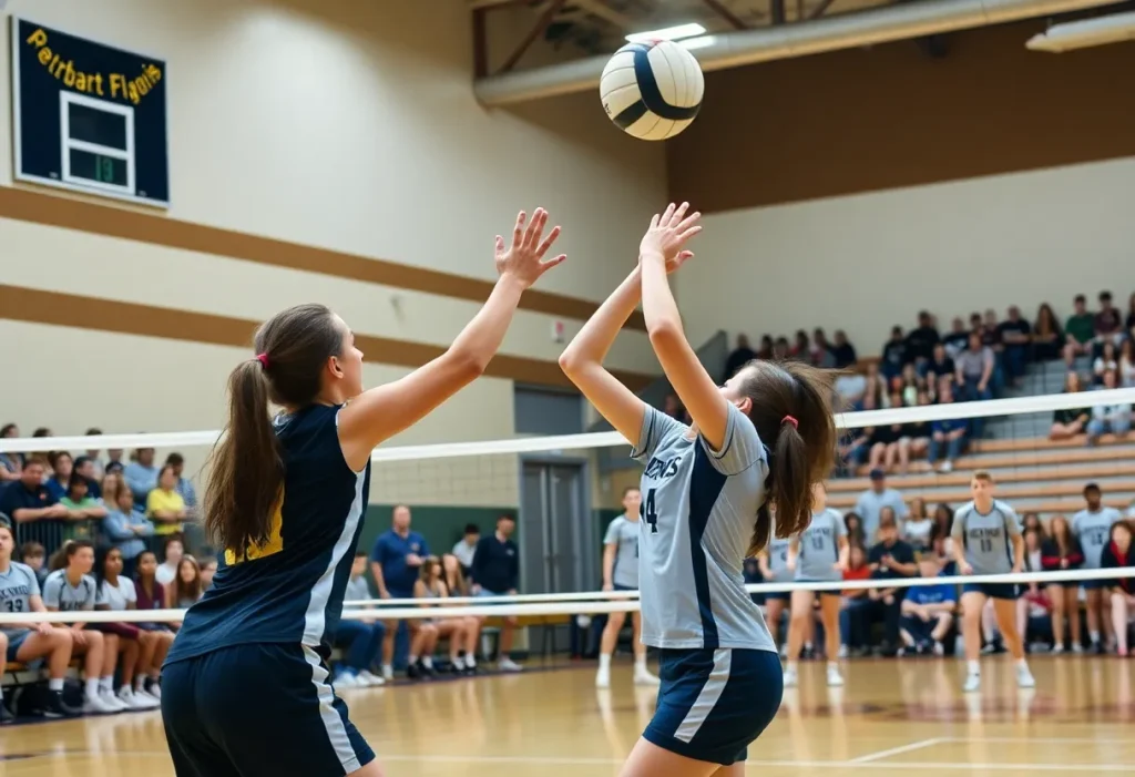
Brighton, October 27, 2025 News Summary Brighton’s volleyball and football teams recently celebrated significant victories, showcasing their skill and determination. The volleyball team defeated Novi Wildcats 2-0, marking their second win...

Novi MI, October 27, 2025 News Summary The Novi Wildcats were defeated 2-0 by the Brighton Bulldogs, ending their three-match winning streak. Despite scoring 19 points in each set, the Wildcats...

Novi MI, October 24, 2025 News Summary The Novi Wildcats achieved a remarkable 3-0 victory over the Lakeland Eagles, remaining strong in the season with a winning streak of three games....

Novi MI, October 24, 2025 News Summary Stoneridge, Inc., a leading supplier of electronic systems, will hold its third-quarter earnings conference call on November 6, 2025, at 9:00 a.m. ET. CEO...

Detroit, October 24, 2025 News Summary The Ralph C. Wilson, Jr. Centennial Park Grand Opening Celebration is set for October 25-26 in Detroit, showcasing a 22-acre park along the Detroit River....

Novi MI, October 23, 2025 News Summary Novi, Michigan has officially dedicated a new community garden called Sakura Gardens in its Asian-themed district, Sakura Novi. The dedication ceremony promises to be...
Novi, MI, October 22, 2025 News Summary The Novi Wildcats showcased their strength with a convincing 3-0 victory over the Dearborn Pioneers in their latest volleyball match. The Wildcats secured set...

Novi, Michigan, October 22, 2025 News Summary The Hello Kitty Café Truck will stop in Novi this weekend, celebrating the beloved character’s 50th anniversary and the truck’s 10th anniversary. Located at...
Novi MI, October 27, 2025 News Summary Changlin Li, a 33-year-old man from Novi, is in custody after he allegedly stole a Medstar ambulance. The incident, which occurred with a paramedic...
Novi, Michigan, October 26, 2025 News Summary An ambulance was stolen while paramedics were treating patients at a crash site in Novi. The suspect, a 33-year-old man, drove recklessly and crashed...
Northville Township, Michigan, October 26, 2025 News Summary In Northville Township, Michigan, a man named Changlin Li was arrested after stealing a Medstar ambulance while paramedics treated a patient inside. The...
Oakland County, Michigan, October 25, 2025 News Summary In Oakland County, Michigan, a paramedic and a patient were unharmed after a stolen ambulance ignited following a crash. The incident occurred when...
Novi, Michigan, October 25, 2025 News Summary A chaotic incident occurred in Novi when an ambulance was stolen from a crash scene while a patient and paramedic were inside. The theft...
Novi, Michigan, October 25, 2025 News Summary In Novi, Michigan, an ambulance was stolen while paramedics were treating crash victims. A 33-year-old man, involved in the earlier crash, drove off with...
Novi, MI, October 25, 2025 News Summary A suspect was arrested for stealing an ambulance containing a patient while emergency personnel treated the individual at a crash scene in Novi. The...

Novi, Michigan, October 25, 2025 News Summary In a shocking incident in Novi, Michigan, an ambulance was stolen while a paramedic and a patient were inside. The theft occurred during the...

Farmington, MI, October 10, 2025 News Summary An early morning fire at the Farmington Plaza Apartments injured three individuals and caused significant damage to several units. Firefighters responded promptly to the...

Ypsilanti, Michigan, October 20, 2025 News Summary Ypsilanti, Michigan saw a powerful display of dissent, with nearly 100 protests across the state as citizens rallied against the Trump administration. Participants voiced...

Novi MI, October 16, 2025 News Summary On November 4, voters in Novi will decide on a significant school bond proposal allowing the district to borrow up to $425 million for...

Detroit, Michigan, October 9, 2025 News Summary Detroit residents are honoring Raymond Anthony Russell and Victoria Kate Westman, two individuals who significantly impacted their communities. Russell, a veteran and dedicated family...

Midland, MI, September 11, 2025 News Summary A provocative billboard along U.S. 10 in Michigan questions former President Donald Trump’s past associations with convicted sex offender Jeffrey Epstein. Commissioned by the...

Novi MI, August 27, 2025 News Summary Starting next school year, all Michigan schools will implement standardized emergency response protocols aimed at improving safety measures during crises. Oversight will be provided...

Novi, Michigan, August 25, 2025 News Summary Allan Wayne Perdue, a beloved Novi resident, passed away at 81, leaving behind his cherished family and a legacy of hard work and kindness....

Novi, August 24, 2025 News Summary The Novi City Council has unanimously approved the transformation of the Huron Rouge Sewage Disposal System into the Rouge Valley Sanitary Inter-County Drain. This change...

Howell, Michigan, August 24, 2025 News Summary Mary Lou Morris, a beloved matriarch from Howell, Michigan, passed away at the age of 91. Known for her deep love for family and...

News Summary Mary Lou Morris, a cherished member of the Howell community, passed away at the age of 91. Known for her dedication to family and community, her legacy will...
Michigan, October 27, 2025 News Summary The Michigan high school football regular season has ended, and the playoff match-ups are set to commence soon. Scheduled games for the first round will...
Brighton, October 27, 2025 News Summary Brighton’s volleyball and football teams recently celebrated significant victories, showcasing their skill and determination. The volleyball team defeated Novi Wildcats 2-0, marking their second win...
Novi MI, October 27, 2025 News Summary The Novi Wildcats were defeated 2-0 by the Brighton Bulldogs, ending their three-match winning streak. Despite scoring 19 points in each set, the Wildcats...
Novi MI, October 24, 2025 News Summary The Novi Wildcats achieved a remarkable 3-0 victory over the Lakeland Eagles, remaining strong in the season with a winning streak of three games....
Novi, MI, October 22, 2025 News Summary The Novi Wildcats showcased their strength with a convincing 3-0 victory over the Dearborn Pioneers in their latest volleyball match. The Wildcats secured set...
Novi, Michigan, October 21, 2025 News Summary The Novi Wildcats are gearing up to battle the Glenn Rockets in a crucial high school football game this Friday at 7:00 p.m. After...

Michigan, October 19, 2025 News Summary The 2025 Michigan high school football season reached a crucial point during Week 8, with thrilling performances and significant matchups. Teams like Adams, who triumphed...
Novi, Michigan, October 19, 2025 News Summary Samson Gash, a four-star wide receiver from Novi, Michigan, has announced his official visit to Alabama football, where he hopes to explore new opportunities....

Novi MI, October 18, 2025 News Summary Four-star wide receiver recruit Samson Gash is set to officially visit Alabama football during their match against LSU. Gash, who is currently committed to...