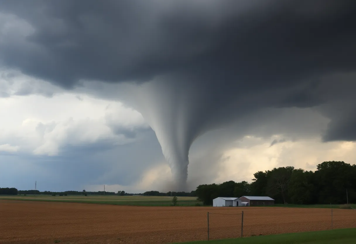

Destruction caused by tornadoes in Michigan, showcasing uprooted trees and damaged structures.
Want to target the right audience? Sponsor our site and choose your specific industry to connect with a relevant audience.
Prominent brand mentions across targeted, industry-focused articles
High-visibility placements that speak directly to an engaged local audience
Guaranteed coverage that maximizes exposure and reinforces your brand presence
Interested in seeing what sponsored content looks like on our platform?
May’s Roofing & Contracting
Forwal Construction
NSC Clips
Real Internet Sales
Suited
Florida4Golf
Click the button below to sponsor our articles:
Sponsor Our ArticlesMultiple tornadoes struck Michigan overnight, affecting areas like St. Charles and Gregory. The National Weather Service confirmed at least three tornadoes, with significant damage reported, including uprooted trees and structural harm to properties. Severe storm warnings were issued ahead of the storms, leading to widespread destruction and power outages for nearly 200,000 customers. Officials are assessing the aftermath and monitoring for further severe weather conditions.
Multiple tornadoes touched down in Michigan overnight, impacting areas including St. Charles, Gregory, and Atlas. The National Weather Service (NWS) has confirmed at least three tornadoes occurred, with significant damage reported across various regions.
The first tornado, classified as an EF1, touched down at 12:03 a.m. Friday between Stockbridge and Gregory, just north of M-106. This tornado traveled 1.6 miles before lifting at 12:05 a.m., with peak winds reaching 90 mph. The damage from the EF1 tornado included uprooted trees, large limb breakages, and structural harm to a shed roof near the intersection of M-106 and Dutton Road. Hickory Ridge Farms particularly suffered heavy losses, with significant damage reported to its barns.
A second tornado, categorized as an EF0, made contact with the ground at 12:05 a.m. near St. Charles in the vicinity of Dempsey Road and Walnut Street, close to Kimberly Oaks Golf Club. This tornado also traveled 1.6 miles before lifting at 12:10 a.m., featuring peak winds of 85 mph. It uprooted several trees in its path and crossed over the Bad River, damaging Coal Miners’ Park and impacting numerous homes and buildings.
Another EF0 tornado was confirmed in Atlas, touching down at 12:35 a.m. and lifting at 12:38 a.m. This tornado traveled a distance of 1.2 miles and reached peak winds of 75 mph, causing damage to trees near Maple Avenue and Atlas Road.
Prior to the tornadoes, severe storm warnings were issued for many counties in Southeast Michigan, resulting from a powerful storm system moving across Lake Michigan from Wisconsin. Active tornado warnings were in effect throughout the night for several areas, including Livingston, Saginaw, and Calhoun counties. Residents were advised to seek shelter in basements or interior rooms of sturdy buildings to ensure safety from these severe weather conditions.
In addition to the tornadoes, the storm produced powerful straight-line winds, resulting in widespread destruction across the state. Reports indicated gusts reaching up to 80 mph in Roosevelt Park, 72 mph in Norton Shores, and 70 mph in Grand Haven. These winds impacted numerous localities, causing substantial damage and leading to nearly 200,000 Consumers Energy customers being left without power, primarily in western Michigan and areas stretching from Kalamazoo to Ann Arbor. DTE Energy also reported around 1,000 customers affected by power outages due to the storms.
The NWS in Grand Rapids has announced plans to conduct surveys of the affected areas to confirm tornado touchdowns in several regions. The severity of the storm conditions in West Michigan was notably heightened, especially around Muskegon and Grand Haven, where extensive wind damage was reported.
As the situation unfolds, the NWS has expressed concerns over potential further severe weather. Another round of severe thunderstorms, which may include possible tornadoes, is forecasted for Friday evening and night. As temperatures in Lower Michigan were expected to rise into the 80s before dropping significantly on Saturday, residents remain cautioned to stay alert for updates from weather services.
State officials and emergency services continue to work on assessing the overall damage and addressing the aftermath of the storms, ensuring that necessary support and resources are available for affected communities.
News Summary The 2025 EHA Congress celebrated its 30th anniversary, bringing together hematology experts worldwide.…
News Summary HR Acuity has proudly received the Great Place To Work® certification for the…
News Summary Recent developments in the investigation of the Tonti Train Crash from 1971 reveal…
News Summary A new report indicates a staggering 1100% increase in deepfake fraud in Q1…
News Summary A shooting in the parking lot of the Michigan State Fair resulted in…
News Summary The Hoʻōla iā Mauiakama Long Term Recovery Group has launched a new volunteer…